
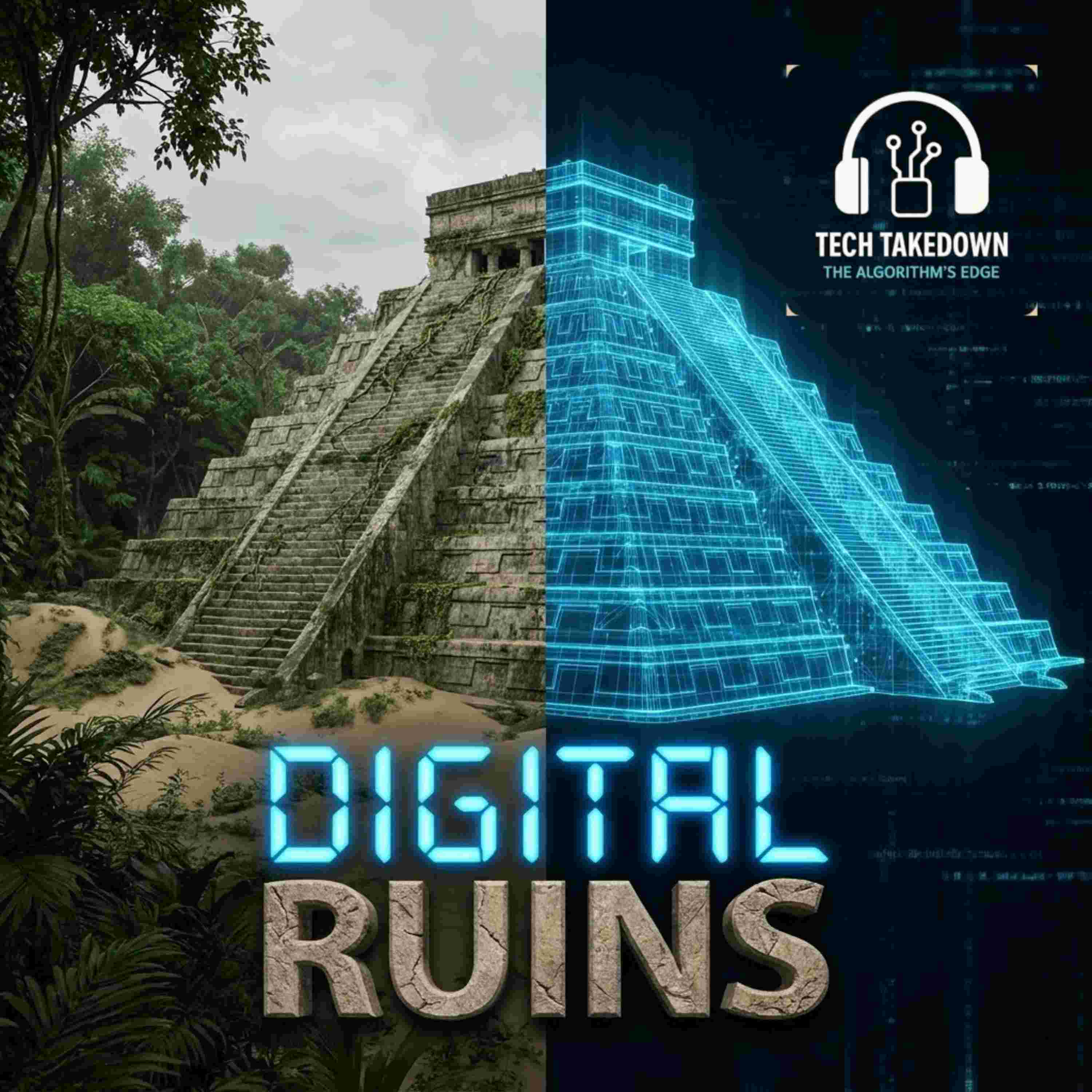
We are losing history faster than we can dig it up. 🏺📡 We investigate the massive global mission to digitally map ancient civilizations before they are destroyed by climate change and urbanization. We break down how archaeologists are trading trowels for LiDAR drones to scan entire continents in minutes.
1. The Invisible Cities: We expose the scale of discovery. New tech like Ground Penetrating Radar (GPR) is revealing that 99% of some ancient cities, like those in the Amazon, have never been touched by a shovel. We discuss how LiDAR can strip away dense jungle canopy to reveal massive, complex urban networks that rewrite our understanding of human history .
2. The "Digital Looting" Risk: Who owns the data? We analyze the ethical crisis of Digital Colonialism. If a Western university scans an Indigenous site and stores the 3D model on a private server, is that preservation or theft? We discuss the CARE Principles and the fight for Indigenous Data Sovereignty to prevent these digital artifacts from being exploited or 3D printed without permission .
3. The Artifact is the Map: We explore a philosophical shift. When a physical ruin erodes completely, the digital scan becomes the only record of its existence. We ask: if the physical object is gone, does the digital file become the artifact itself? And if so, who has the right to control, share, or delete that file? .
The full list of sources used to create this episode can be found on our Patreon under https://www.patreon.com/c/Morgrain
Community Poll
Question: Who owns a digital scan of an ancient temple? 🏛️💾
Choices:
The Country: It's their land 🗺️
The University: They paid for it 🎓
Indigenous People: It's their culture 🪶
Everyone: History is open source 🌐